Menu title
This section doesn’t currently include any content. Add content to this section using the sidebar.
Your headline
Image caption appears here
$49.00
Add your deal, information or promotional text
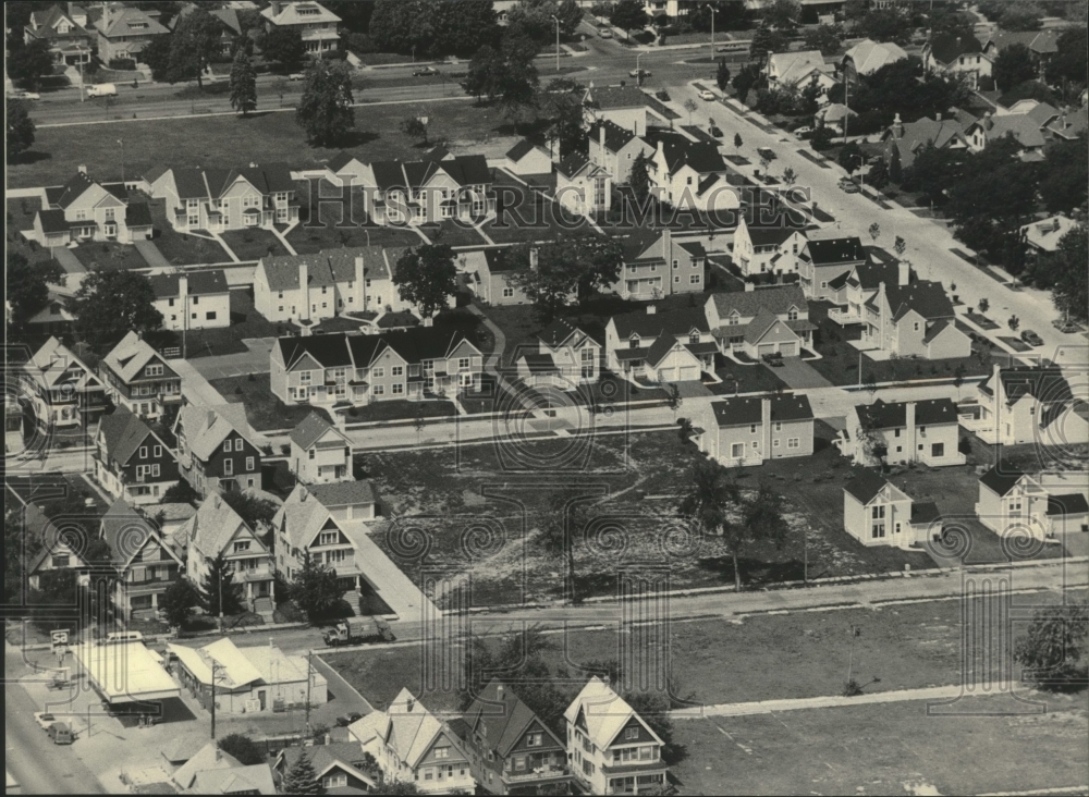
Every photo in our collection is an original vintage print from a newspaper or news service archive, not a digital image. Please see our FAQ for more information.

Sign up to get an exclusive discount, as well as the latest on sales, new releases and more!